A Swell Time

Day 3: Inverness to London
Sun Aug 28 2022
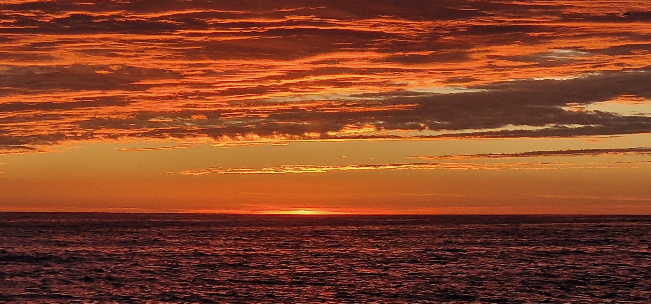
The only thing worse than no wind, is no wind AND swell, and that’s exactly what we’ve been experiencing for the last 12 hours. It’s forecast to remain this way too, all the way to the Thames.
Given that there’s been no wind for 3 days now, it’s not caused by the usual leftover waves. The culprit, so far as I can tell, is how shallow this part of the North Sea is. That, coupled with enormous amounts of commercial traffic, seems to be giving a short period (4 or 5 seconds) swell and/or chop which quite belies the otherwise beautiful conditions.
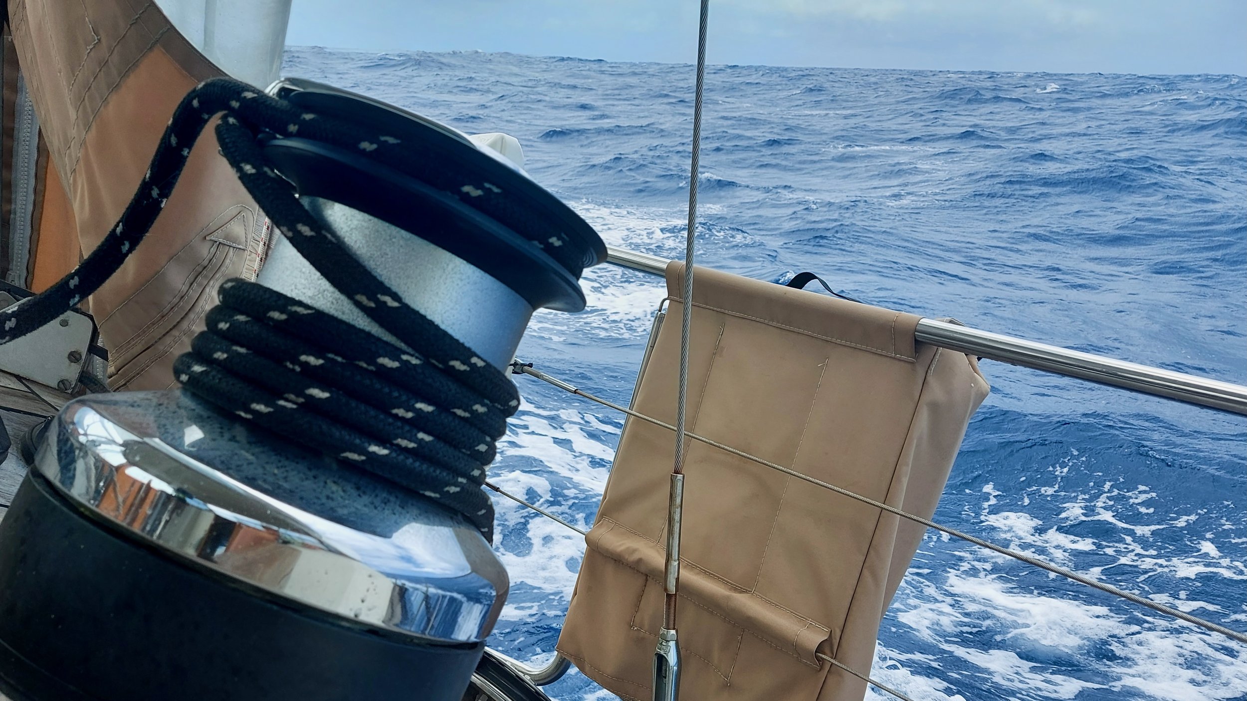
Without sails to dampen her pitching motion, Steely is rolling from gunwale to gunwale. It’s not much fun – not sure who I approach to get my money back though.
On the other hand, we’ve been pleasantly surprised by how much more space there is out here between the gas platforms, oil rigs, windfarms and sand banks. On the charts it looks like you’d need to breathe in to pass between them all. In reality though, we’ve never had to go closer than a mile to any of these hazards, and we seem to be through the worst of it now. If we’d been sailing in headwinds, or the visibility had been poorer, we might have felt differently, but as it is, we’re relatively relaxed.
It gives us confidence for the next tricky bit, the Thames Estuary, which we’ll be tackling in the dark tonight. The extensive sand banks and shipping lanes (plus a few massive wind farms mixed in) means there are up to a dozen distinct paths once can take through. Each of these is well marked with navigation buoys, but since the channels are very close to each other, and even merge and separate again in different places, it will involve a high degree of concentration and lots of counting, as we try and identify which is the correct marker based on the number of flashes its light is giving.
Fun times!
Once we’re out the other side of that, we’ll be into the River Thames proper. Our goals is to arrive at Sheerness Point (where the Estuary narrows to become the river) at around 8.30 am tomorrow (Monday), which will be low tide. From there, the narrow and twisty part of the River Thames begins in earnest, and this timing should ensure we have the flood tide helping us the entire way.
To enter the marina at St Katharine Docks requires you to go through a lock, which only operates for 2 hours either side of high tide. On Monday that means it will run from 2pm to 6pm, so that is our arrival window. We’ve been recommended to arrive early in that window, as we’re at spring tides just now, and right on high water, there might actually be too much height in the river for the lock to be operated. If we can time our arrival at Sheerness just right, that shouldn’t be a problem – especially since the Spring tides will give us a 4 or 5 knot boost in places as we make our way 40 miles up the river into the heart of London.
We’re super excited about making that journey, with so much history and so many places of interest all around us.
Before then though, we’ve got a lot more rocking and rolling to do.
Day 3 Statistics:
Total Time on passage: 2 days, 22 hours
Total Distance covered: 397 nm
Distance in last 24 hours: 122
Average Speed: 5.1 knots
Distance to Sheerness: 131nm
Distance to St Katharine Docks: 173nm
Number of wind turbines passed in last 24 hours: Approximately 23,456 ! Ok, that may be a slight exaggeration, but I’ve never seen anything like it. Quite amazing.